Phoenix Mapping supports .shp (shapefile) file format. Before commencing, ensure all supporting files for the layers are saved in the same location . A shp file comprises multiple supporting files (i.e. shx, dbf, prj) that are essential to the layer itself.
Assuming the project is already created (if not refer to Starting a Mapping Project);
•Click the Layer Wizard button on the toolbar 
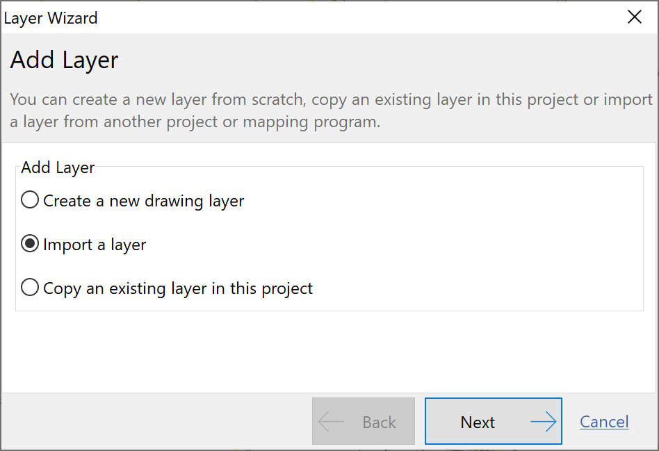
•Select Import a layer and click Next.

•Select Import Source File and click Next.
•Click the yellow folder to browse to where the layer files are saved. Select the corresponding shp file, click Open then click Next. Note that the other supporting files will be hidden in this step.
•Give the layer a name and click Next (if you had selected a specific Vegetation Management map then tick this option).
•Click Finish to confirm your selections for this layer.
NB: Vegetation maps will import with predefined shading and a corresponding legend. At the time of print, Queensland is the only region that produces ‘Vegetation Management Maps’. Other regions will be added if/when they produce specific predefined spatial data.
|