Contained within Phoenix Mapping is a Spatial Data Library. The library is a list of remote data sources that can be overlaid onto an existing project or used as the base to start a new project. Data types span imagery, government datasets, through to privately compiled spatial data.
A suitable internet connection is required to access the data servers. The layers are not saved within the Phoenix project but reference the servers each time the project is opened.
To add a layer from the Spatial Data Library;
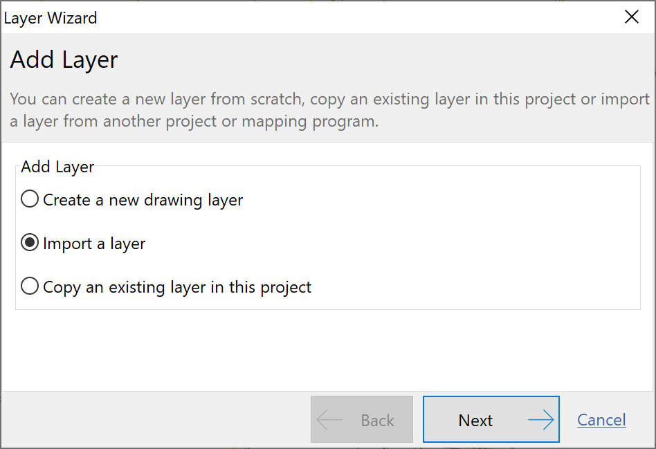
•Click the Layer Wizard button 
•Select Import a layer and click Next.
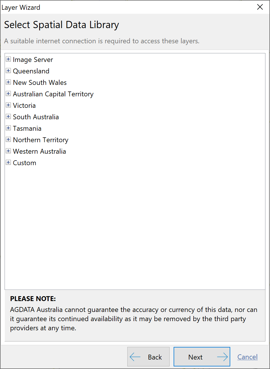
•Select Spatial Data Library and click Next.
•Due to the nature of the data available, layers have been grouped to their specific region of relevance. Click the + to expand a grouping. Tick the desired layer and click Next.
•Read the License Agreement and if agree, tick the acknowledgement then click Next.
•Confirm the layer name and click Next.
•Confirm the details of the layer about to be added to the map and click Finish.
The Custom option in the Spatial Data Library provides the ability to enter a URL of any other known spatial server.
Navigating Spatial Data Library Layers
NB: The Spatial Data Library is provided under license by third party providers. Accuracy or currency of the layers cannot be guaranteed nor can their continued availability as they may be removed by the third party providers at any time.