If you have Livestock or Cropping modules and your Mapping projects are in the same dataset then you can display relevant information directly onto maps.
For this to work you first need to ensure objects on the map have been linked to paddocks created in Livestock and Cropping. The first step is to create this link.
•Launch Mapping and open the appropriate project.
•On your Paddocks Layer, click the first paddock so it highlights in red. In Object Data click  and you will be presented with the Paddock Link window. Click
  in the Link to: field and select the corresponding paddock from the list. This list is drawn from Setup Paddocks.
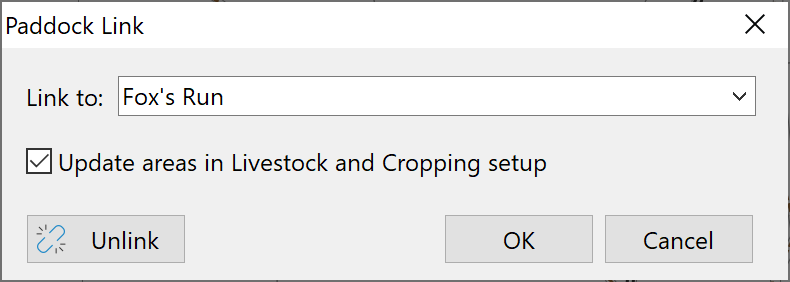
•If you tick Update areas in Livestock and Cropping setup then the paddock size in Paddock Setup will be updated with the calculated area from the map.
•When finished, click OK.
Repeat this step for each paddock.
See Also: