Phoenix Mapping can display projects in 3D if appropriate elevation data is present. The elevation data is imported as its own file and presents as another layer. On import, Phoenix will automatically render - green through to red - the relief across the extent of the elevation layer and add a legend in the layer list. Even when viewed in 2D mode, a 3D perspective is apparent.
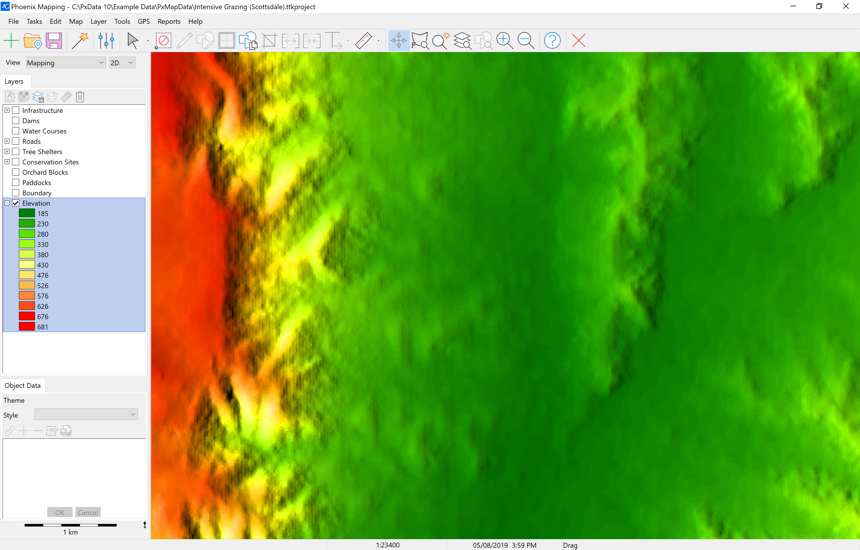
An elevation layer can be imported as part of creating a new project or imported into an existing project. Any existing drawing or image layers will render in 3D once the elevation data is loaded.
Elevation layers come in what is known as a DEM (Digital Elevation Model). There are 3 supported DEM file formats - .adf, .grd and ,asc.
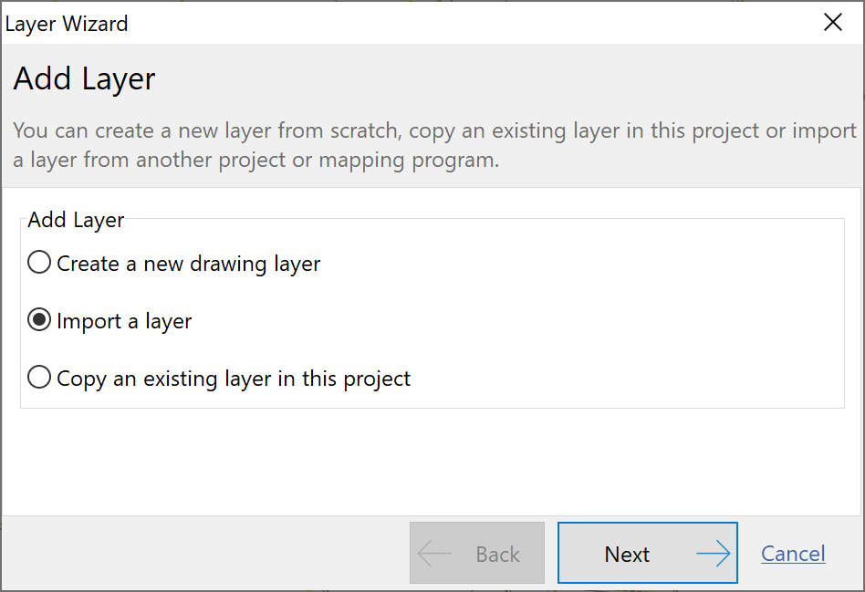
Importing a DEM is the same process as importing any other layer:
•Click the Layer Wizard button on the toolbar 
•Select Import a layer and click Next.
•Select to import from File and click Next.
•Click the yellow folder to browse to where the DEM file is saved. Note that if an adf file type is being used, the one DEM will be made up of a number of individual adf files. All of these files are required to be saved in the same location for the import process. In this step any one of these files can be selected for the import process. Phoenix will automatically read the other files present in the same location.
•Give the layer a name such as Elevation or DEM and click Next.
•Click Finish to confirm your selections for this layer.
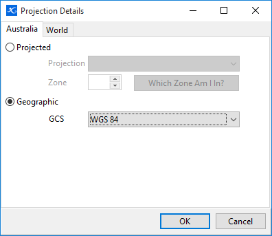
•If at this step you are presented with a message that the layer's coordinate system has not been provided in the file, select the first option Let me choose a coordinate system...
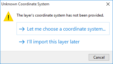
•If the coordinate system the file was generated in is known, then select the file from the drop-down menus. If it is not known then try setting Geographic WGS 84 as this is what has been used for most government datasets. If the elevation data does not appear aligned with the project then delete the layer and contact the source of the file for assistance.
Having imported elevation data, any line objects in the project will now have a surface length or 3D length field (SURFACE_L) in Object Data. The existing PX_LENGTH field will still display the 2D length.