The concept of creating maps using Phoenix Mapping is to first start with a base image or by importing pre-existing map layers from a third party source. From these starting layers you can then generate/draw layers over the top. A layer is like drawing on a sheet of transparency over your image. You can build up an unlimited number of these layers. Then, at your choosing, you can select which layers you wish to view at any one time. What type of information is created on any given layer is entirely at your discretion.
A collection of layers is known as a Project. A Project will contain the coordinates of the area being mapped. This provides the ability to auto calculate areas and distances on the map as well as catering for interaction with GPS units.
To access Phoenix Mapping:
•Launch Phoenix from the Desktop Shortcut
•Click on the Mapping button on the Toolbar 
•Select the project you wish to open, then click on the Open Selected Project button 
You will be presented with the Map main screen.
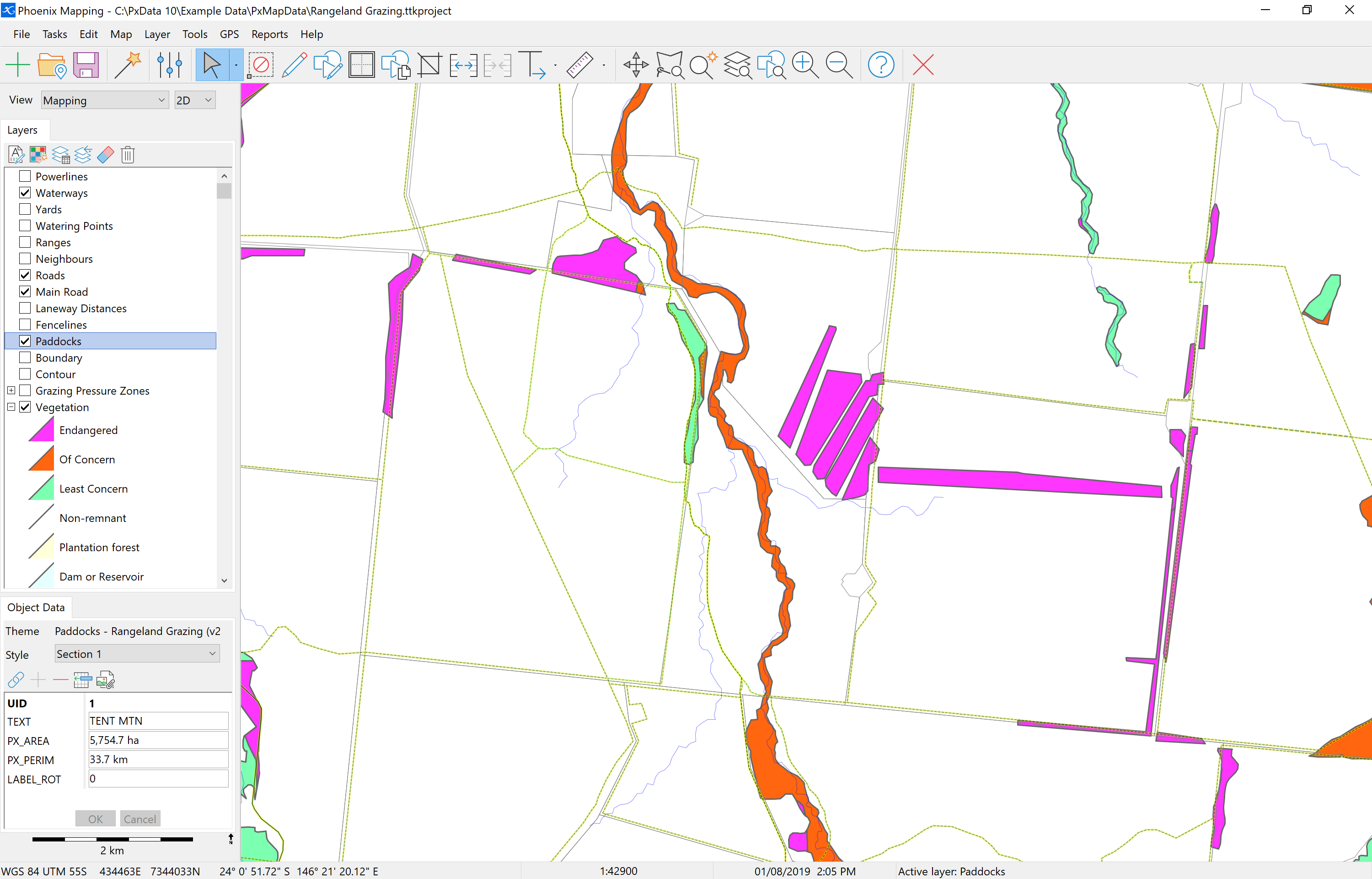
Aside from the main toolbar, the map window has three sections; the main map panel, Layers list panel and the Object Data panel that will display details for any selected object on the map.